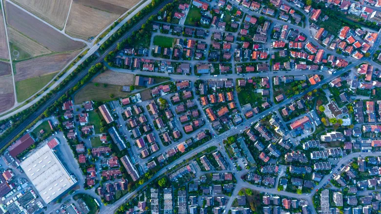
Urban planning and development have always been a complex balancing act between human needs, environmental considerations, and economic feasibility. In recent years, geospatial technologies have emerged as transformative tools in reshaping the way cities grow and adapt.
Among these, GNSS receivers play a subtle but significant role in collecting accurate locational data, providing the foundation for modern geographic information systems (GIS).
The Intersection of Technology and Urban Planning
At its core, GIS enables urban planners to visualize, analyze, and interpret data in ways that were previously unimaginable. By overlaying layers of information—ranging from population density and land use to environmental impact assessments—GIS facilitates informed decision-making. This is not just about plotting points on a map; it’s about creating narratives that guide the evolution of urban spaces.
Consider a scenario where a city is planning new public transport routes. GIS can integrate data on commuter patterns, traffic flow, and even social equity, ensuring the proposed routes benefit the most residents while minimizing disruption. This level of precision reduces the risk of costly missteps and fosters public trust.
Tackling Environmental Challenges
One of the most pressing challenges in urban development is environmental sustainability. As cities expand, the pressure on natural resources intensifies, and the risk of environmental degradation grows. GIS provides a crucial tool for addressing these concerns, offering planners the ability to:
Identify areas prone to flooding or other natural disasters
Assess the environmental impact of proposed construction projects
Optimize green spaces to enhance urban biodiversity
For instance, GIS-based simulations can predict the long-term effects of urban heat islands, allowing planners to design more resilient cities. By integrating geospatial data with environmental models, cities can adopt proactive measures that mitigate risks and adapt to climate change.
Enhancing Public Engagement Through Data
Urban development is as much about people as it is about infrastructure. Public engagement is critical for fostering a sense of ownership and trust among residents. GIS, with its ability to present data visually and interactively, is a powerful tool for bringing communities into the planning process.
Interactive GIS platforms can allow residents to explore proposed developments, voice concerns, and suggest improvements. This level of transparency and collaboration not only strengthens community ties but also leads to more inclusive and equitable urban development.
Innovations in Infrastructure Development
From smart grids to advanced transportation systems, infrastructure forms the backbone of modern cities. Geospatial technologies are instrumental in designing and managing these systems efficiently. GIS, combined with data from sensors and IoT devices, allows cities to:
Monitor infrastructure health in real-time
Predict maintenance needs before they escalate into costly repairs
Optimize resource allocation for maximum efficiency
An excellent example is the use of GIS in mapping underground utilities. By accurately identifying the locations of water, gas, and electrical lines, cities can avoid accidental damage during construction projects. This not only saves time and money but also enhances public safety.
Beyond Maps: The Future of GIS in Urban Development
The potential of GIS extends far beyond its traditional role in mapping. Emerging technologies such as artificial intelligence (AI) and machine learning are pushing the boundaries of what GIS can achieve. These innovations enable predictive analytics, allowing cities to anticipate and plan for future challenges.
For instance, AI-driven GIS applications can analyze trends in housing markets, helping cities address issues like affordability and gentrification. Similarly, machine learning algorithms can optimize traffic management systems by predicting congestion patterns and suggesting real-time adjustments.
As these technologies evolve, the integration of GIS with other disciplines will become even more seamless, making it an indispensable tool for urban development.
Conclusion: Building Smarter Cities Together
The transformative power of GIS and geospatial technologies in urban development is undeniable. By enabling smarter, data-driven decisions, these tools are reshaping how cities are planned, built, and managed. Whether it’s through tackling environmental challenges, engaging the public, or innovating infrastructure design, GIS provides a path forward for creating sustainable and inclusive urban spaces.
In a world where urbanization shows no signs of slowing down, embracing geospatial precision is not just a choice—it’s a necessity. As cities continue to grow, so too must our ability to understand and navigate their complexities. With the right tools and a collaborative approach, the future of urban development looks brighter than ever.